The Complete Data Pipeline
From raw laser pulses to actionable intelligence: five integrated stages that transform how you capture, process, and leverage geospatial data.
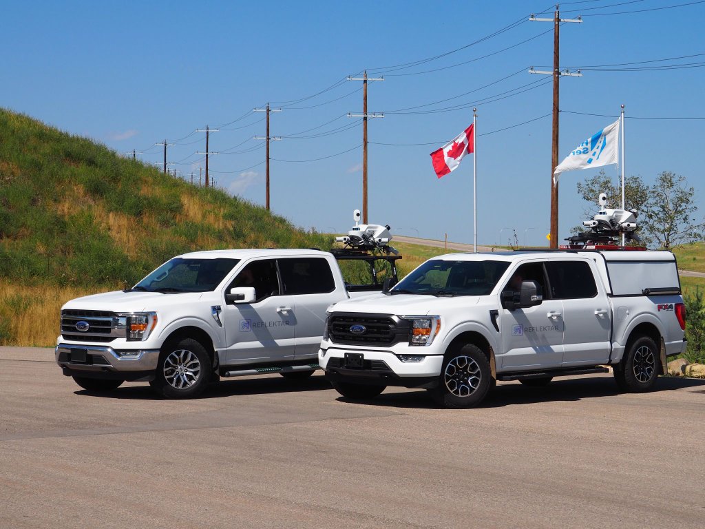
Autonomous Acquisition
Reflektar operates two high-precision mobile LiDAR scanning units capable of capturing dense 3D point clouds of any infrastructure corridor. Our vehicle-mounted systems collect millions of data points per second, producing survey-grade datasets suitable for engineering design, asset management, and digital twin creation.
- Vehicle-mounted mobile LiDAR scanning
- Millimeter-accuracy point cloud capture
- 360° spherical imagery integration
- Rapid data collection at kilometers per hour
- GPS/INS georeferencing for global accuracy
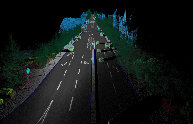
AI-Augmented Classification
Upload your raw LiDAR datasets to the Reflektar Portal and let our AI handle the heavy lifting. Our machine learning models perform automated noise suppression, ground classification, and semantic segmentation, transforming unstructured point clouds into clean, classified datasets ready for analysis. What traditionally takes days of manual labor is completed in hours at a fraction of the cost.
- Automated noise filtering and outlier removal
- Ground/non-ground classification
- Semantic point cloud segmentation
- Up to 70% cost reduction vs. manual processing
- Quality validation and accuracy reporting
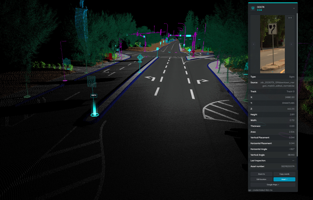
Semantic Feature Synthesis
Our AI-powered feature extraction engine automatically identifies, classifies, and vectorizes critical infrastructure elements from your processed LiDAR and photogrammetry data. From utility poles and traffic signs to pavement markings and guardrails, every asset is detected, attributed, and delivered in your preferred geospatial format.
- Utility pole and powerline detection
- Pavement marking vectorization
- Traffic sign inventory and classification
- Guardrail and barrier extraction
- Road edge and curb delineation
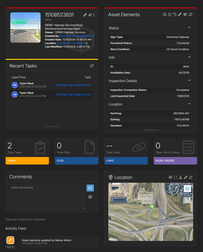
Platform & Integrated Viewer
The Reflektar Platform is a cloud-based geospatial workspace where you can visualize your extracted assets, manage infrastructure data, and explore your LiDAR scans in an immersive 3D environment. Collaborate with your team, generate reports, and make data-driven decisions, all from your browser.
- Browser-based 3D point cloud viewer
- Interactive asset management dashboards
- Measurement and annotation tools
- Team collaboration and sharing
- Export to CAD, GIS, and BIM formats
Geospatial Intelligence
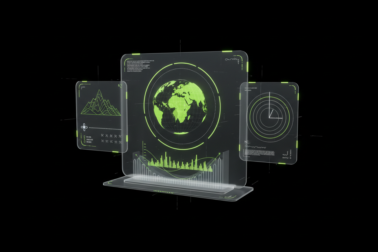
A comprehensive suite of nine analytical tools designed to extract maximum value from your spatial data. From pavement condition assessment and geometric safety audits to HD mapping for autonomous vehicles, our analysis capabilities turn raw measurements into engineering-grade insights.
- Pavement defect assessment
- Geometric and safety audits
- Asset inventory and utility mapping
- Grade widening and corridor analysis
- HD maps for autonomous driving
Aerial Surveying, Mapping & Inspection
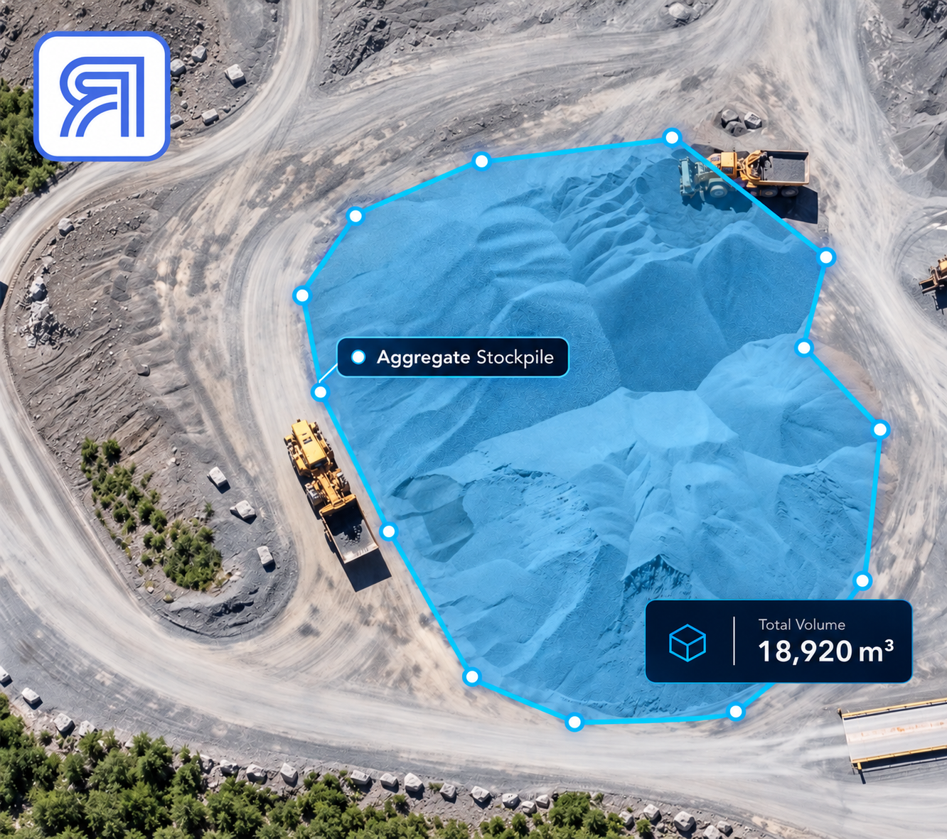
Enterprise drones equipped with RTK positioning, photogrammetry, LiDAR, thermal imaging and high-resolution cameras capture accurate aerial data across construction sites, transportation corridors, industrial facilities and remote infrastructure — delivered as maps, measurements, models and inspection reports.
- Aerial surveying and topographic mapping
- Orthomosaic and elevation model generation
- Stockpile volume and cut-and-fill analysis
- Visual and thermal aerial inspections
- Construction progress monitoring
Ready to Get Started?
Upload your data to the Reflektar Portal or contact us to discuss your project.