Redefining How the World Sees Infrastructure
With over a decade of experience in remote sensing, artificial intelligence, and cloud computing, Reflektar is on a mission to transform raw LiDAR data into the intelligence that builds and maintains the world's infrastructure.
What sets us apart is our ability to handle massive, network-level datasets spanning entire transportation corridors, processing and extracting insights at a speed and scale that others simply cannot match. Our AI models are not static: they are robust, continuously self-learning, and designed to improve with every dataset they encounter.
Digital Twinning of Transportation Infrastructure Using AI
We believe that every piece of physical infrastructure deserves a digital counterpart: a living, queryable representation that makes management, planning, and maintenance radically more efficient. Our AI models are robust and proven to work across diverse environments, from dense urban corridors to remote utility lines.
The People Behind the Technology
A multidisciplinary team of engineers, scientists, and domain experts united by a passion for geospatial intelligence.
Geospatial AI Engineers
Building and training the machine learning models that power our automated classification and feature extraction pipelines.
Remote Sensing Specialists
Over a decade of expertise in LiDAR data collection, processing, and analysis for transportation infrastructure.
Cloud Platform Developers
Architecting the Reflektar Portal, a scalable, browser-based platform for managing geospatial intelligence.
Domain Experts
Transportation engineers and GIS professionals who bridge the gap between data science and real-world infrastructure needs.
Join the Team
We're always looking for talented individuals passionate about AI, remote sensing, and geospatial technology. If you're excited about transforming infrastructure intelligence, we'd love to hear from you.
View OpportunitiesWhere We Operate
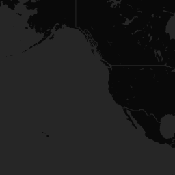
Offices across North America and the Middle East, delivering geospatial intelligence wherever infrastructure exists.







Let's Talk
We're happy to answer any questions and help you determine which services best fit your needs.
What happens next?
- 1.We schedule a call at your convenience
- 2.We do a discovery and consulting meeting
- 3.We prepare a proposal